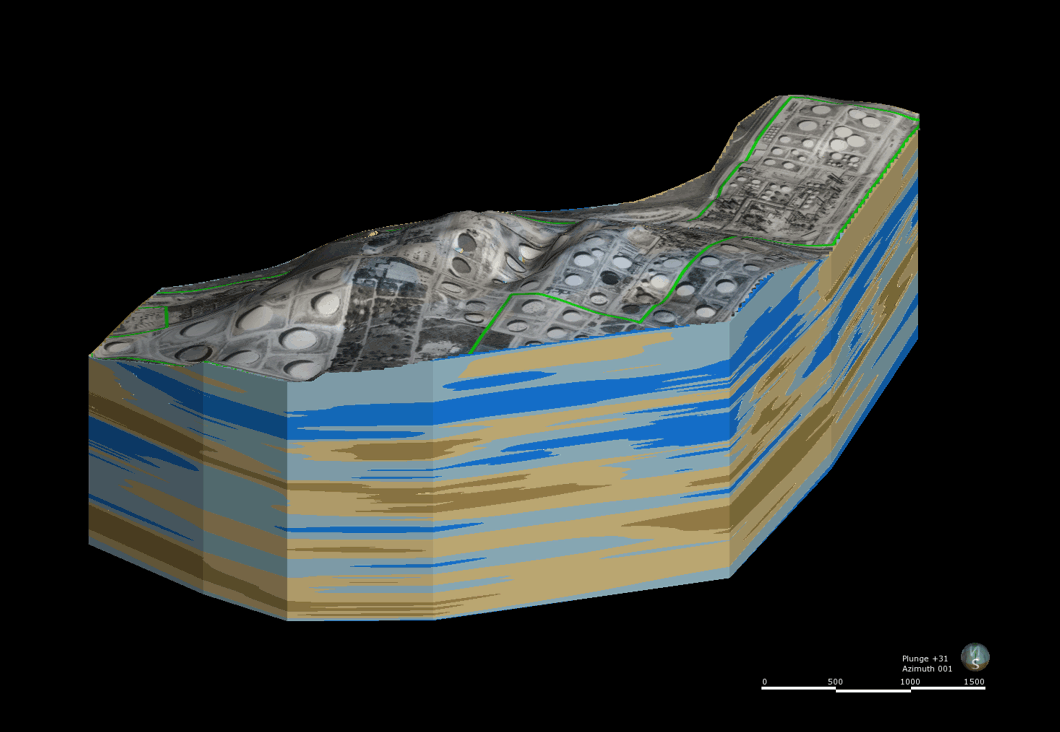
GEI constructed a 3D LNAPL conceptual model incorporating decades of data to illustrate the geology, hydrogeology, contaminant extent, and effect of the existing remedy for a large and complex site.
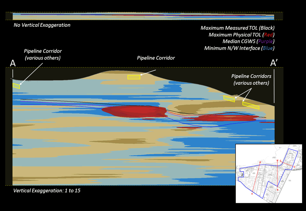
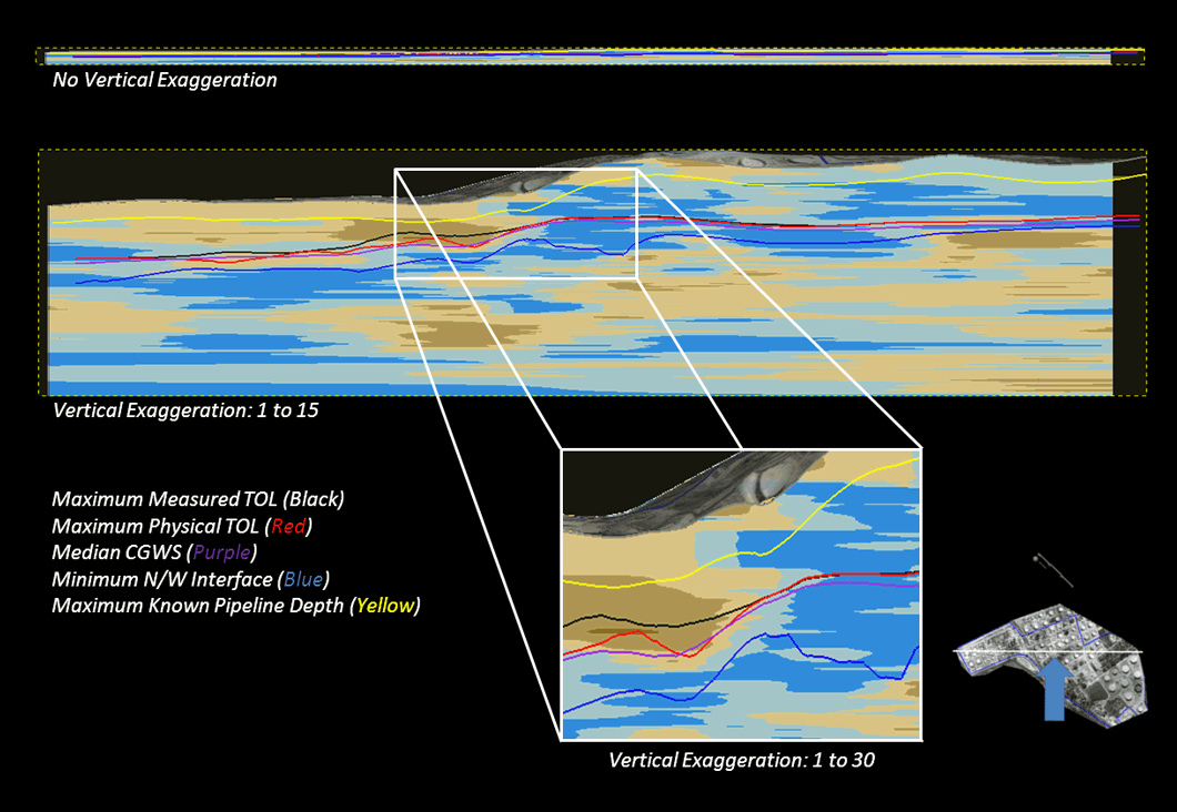
The model was used to evaluate the performance of an ongoing remedy as well as to illustrate the results of the evaluation to the site regulator. It continues to be used as a live model for evaluation of new projects or potential issues as site conditions change.
The site has a complex geology and hydrogeology as well as multiple historic releases on-site that are commingled with off-site sources. A new approach was needed to incorporate decades of data of various types and sources into a single tool for an effective evaluation. The geology, hydrogeology, and contaminant extent were modeled incorporating over 5,700 well gauging data points from 162 monitoring and recovery wells.
The model included over 65,000 individual CPT data points and over 75,000 LIF data points from 101 borings. Over 14 years of monthly groundwater and hydrocarbon recovery data from up to 108 recovery wells was also utilized. GIS data such as underground pipeline corridors, historical contour maps of potentiometric surface, groundwater contaminant extent, LNAPL extent, and LNAPL transmissivity were also added to the model. Likewise, basemaps and aerial photos were incorporated to provide scale and orientation to the visualizations.